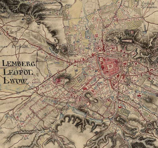
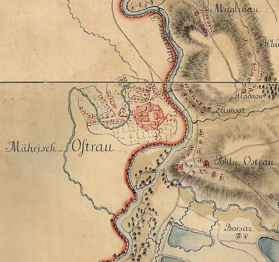
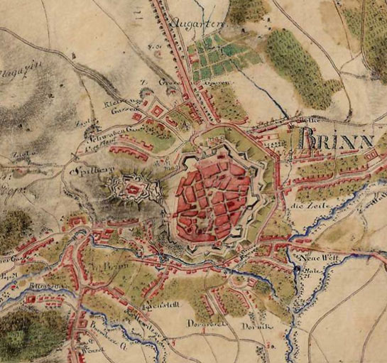
Königreich Ungarn (1782–1785) - First Military Survey
Zakoupit segment
Stačí několik kliknutí a můžete si zakoupit a stáhnout naskenované obrázky v plném rozlišení.
Základní mapy
Historické mapy
Königreich Ungarn (1782–1785) - First Military Survey
Data provided by Österreichisches Staatsarchiv
Georeference method: Molnár, G., Timár, G., Biszak, E. (2014): Can the First Military Survey maps of the Habsburg Empire (1763-1790) be georeferenced by an accuracy of 200 meters? DOI: 10.13140/2.1.1447.8724. Conference: 9th International Workshop on Digital Approaches to Cartographic Heritage Budapest, 4-5 September 2014, 127-132.
Legend
Archival identifiers
- Banalgrenze [B IX a 771/772]
- Böhmen [B IX a 92]
- Bukowina [B IX a 432]
- [B IX a 424/425]
- Galizien [B IX a 390]
- Innerösterreich [B IX a 54]
- Karlstädter Generalat [B IX a 786]
- Mähren [B IX a 155]
- Moldau [B III a 180]
- Moldau und Walachei [B III c 38]
- Niederösterreich [B IX a 242]
- Oberösterreich [[B IX a 211]
- Österreichische Niederlande [B VIII a 125]
- Provinzialkroatien [B IX a 766]
- Provinzialslawonien [B IX a 879]
- Schlesien [B IX a 175]
- Siebenbürgen [B IX a 715]
- Slawonische Militärgrenze [B IX a 878]
- Temeschwarer Banat [B IX a 577]
- Ungarn [B IX a 527]
- Warasdiner Generalat [B IX a 799]
- West Gallicien [B XII a 100]


