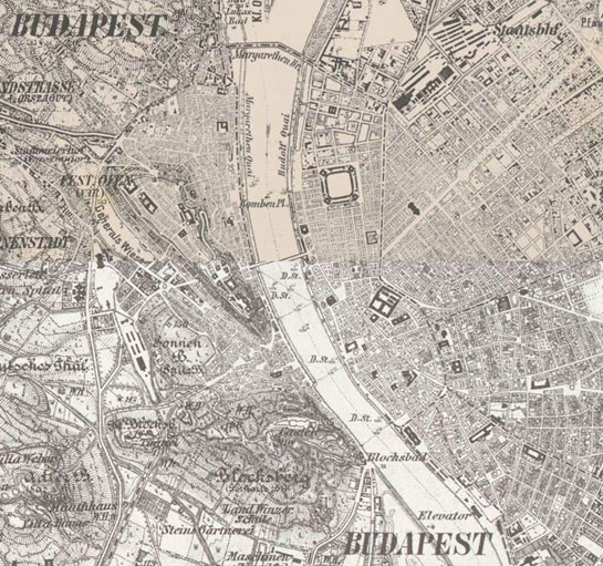
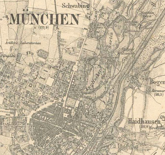
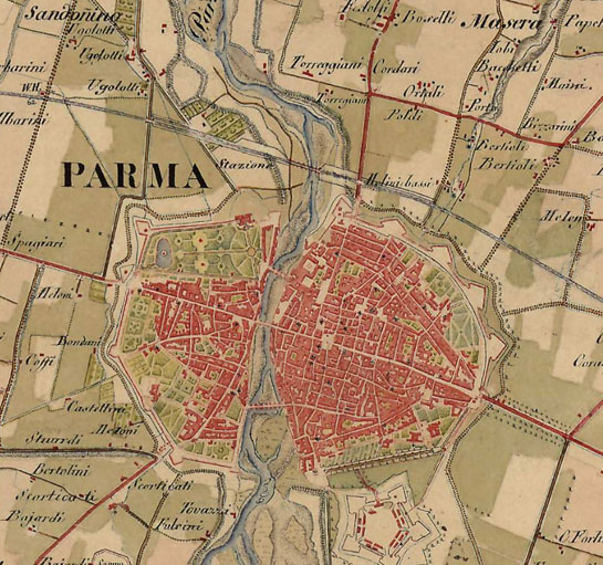
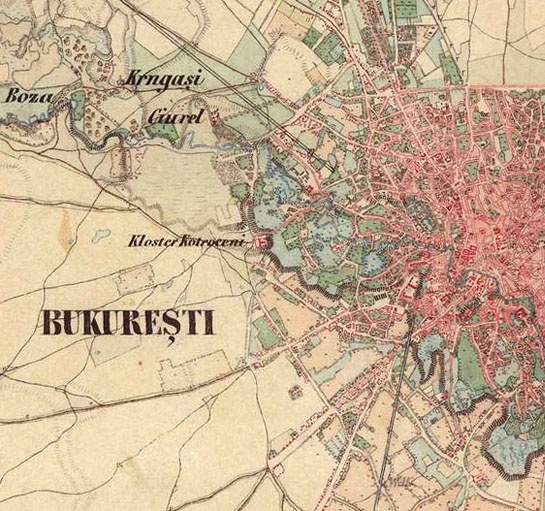
Europe in the XIX. century (with the Third Military Survey)
Buy sheets
You can purchase and download the full resolution raw scans for all sheets with just a few clicks.
Web Map Tile Service
Not available
Base maps
Historical layer
Europe in the XIX. century (with the Third Military Survey)
Related maps

1:100,000 scale topographic map (Rektangelkart) of Kingdom of Norway

Ferrara

Grossherzogthum Baden (1838-1849)
Habsburg Empire (1869-1887) - Third Military Survey (1:25000)

Kingdom of Greece (1885)
Königreichs Bayern (1848)

Königreichs Sachsen (1821)

Königreichs Württemberg (1821-1851)
Lombardy, Venice, Parma, Modena (1818–1829) - Second military survey of the Habsburg Empire

Map of the southern provinces of Italy (1862-1876)

Moldavia (1892-1898)

Ordnance Map of England and Wales (ca. 1890)

Ordnance Survey of Scotland, ca. 1890 [B VI a 32]

Papal States and Tuscany (1841-1843)

Piemont (1821)

Prussia (1877)

Russia (1872)

Senate Atlas at the National Archives of Finland (1870-1907)

Topographic and military map of the Kingdom of the Netherlands (1861)

Topographic map of Belgium (1846-1854)

Topographic map of France (1836)

Topographic map of Switzerland (1855)
Wallachia - Second military survey of the Habsburg Empire


