Croatia (1865–1869) - Second military survey of the Habsburg Empire
Buy sheets
You can purchase and download the full resolution raw scans for all sheets with just a few clicks.
Web Map Tile Service
Do you need the georeferenced version? Thanks to our WMTS service you can import the georeferenced maps to your website or even your desktop application.
Available
Base maps
Historical layer
Croatia (1865–1869) - Second military survey of the Habsburg Empire
Info
Layers provided by Arcanum Adatbázis Kft
Data provided by Österreichisches Staatsarchiv
Georeference method: Timár, G., Molnár, G., Székely, B., Biszak, S., Varga, J., Jankó, A. (2006): Digitized maps of the Habsburg Empire – The map sheets of the second military survey and their georeferenced version. Arcanum, Budapest, 59 p. ISBN: 963-7374-33-7
Legends: version #1; version #2
Related maps

Bohemia (1842–1853) - Second military survey of the Habsburg Empire

Coastal Zone (1821–1824) - Second military survey of the Habsburg Empire

Croatia (1865–1869) - Second military survey of the Habsburg Empire

Dalmatia (1851–1854) - Second military survey of the Habsburg Empire
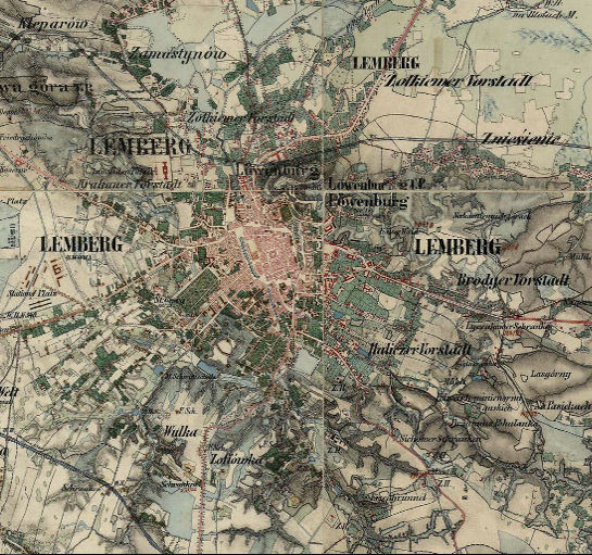
Galicia and Bucovina (1861–1864) - Second military survey of the Habsburg Empire

Hungary (1819–1869) - Second military survey of the Habsburg Empire
Illyria (1829–1835) - Second military survey of the Habsburg Empire

Lichtenstein (1816–1821) - Second military survey of the Habsburg Empire
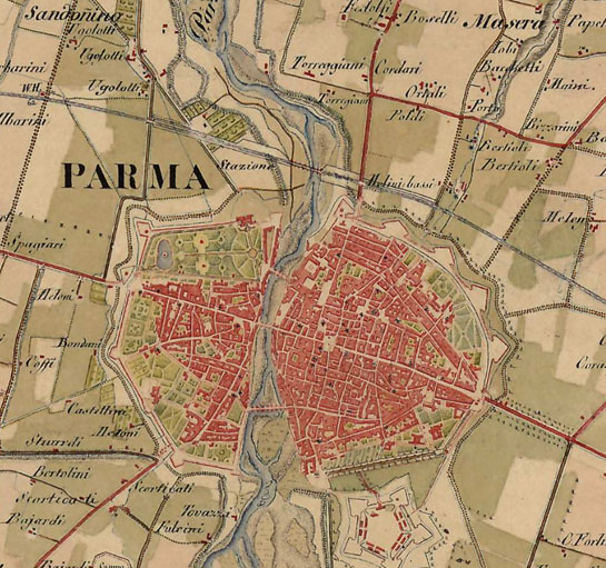
Lombardy, Venice, Parma, Modena (1818–1829) - Second military survey of the Habsburg Empire

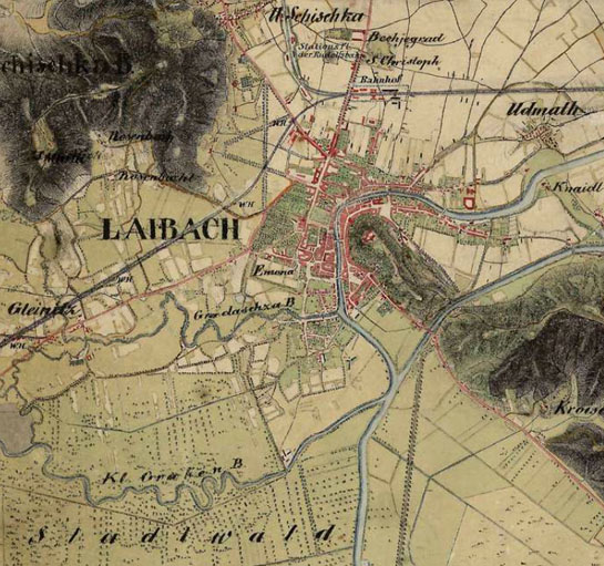
Lower and Upper Austria (1819–1869) - Second military survey of the Habsburg Empire

Moravia (1836–1842) - Second military survey of the Habsburg Empire

Salzburg (1807–1808) - Second military survey of the Habsburg Empire

Styria (1821–1836) - Second military survey of the Habsburg Empire

Transylvania (1853–1858; 1869–1870) - Second military survey of the Habsburg Empire
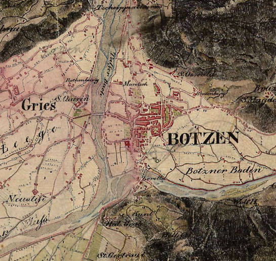
Tyrol (1816–1821) - Second military survey of the Habsburg Empire

Vorarlberg (1816–1821) - Second military survey of the Habsburg Empire
Wallachia - Second military survey of the Habsburg Empire


