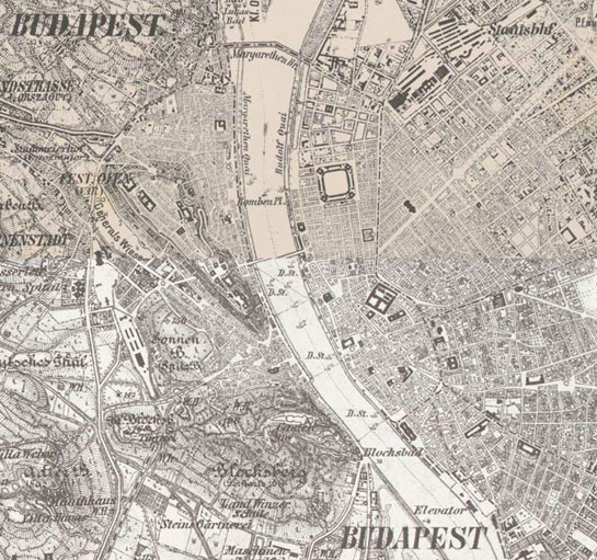
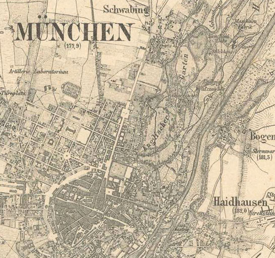
Europa în secolul al XIX-lea (with the Third Military Survey)
Cumpărați secțiuni ale hărților
Cu doar câteva clickuri puteți cumpăra și descărca hărți de înaltă rezoluție.
Web Map Tile Service
Nu este disponibil
Hărți de bază
Strat istoric
Europa în secolul al XIX-lea (with the Third Military Survey)
Hărți conexe

1:100,000 scale topographic map (Rektangelkart) of Kingdom of Norway

Belgia (1846-1854)

Elveția (1855)

Ferrara

Franța (1836)

Grossherzogthum Baden (1838-1849)
Habsburg Empire (1869-1887) - Third Military Survey (1:25000)
Königreichs Bayern (1848)

Königreichs Sachsen (1821)

Königreichs Württemberg (1821-1851)
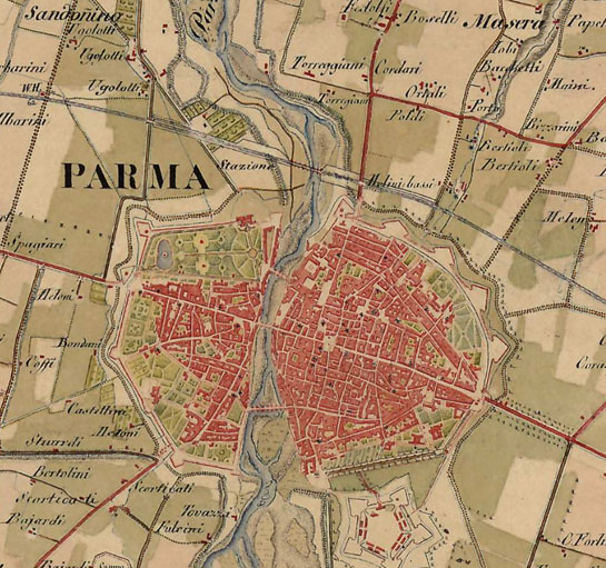
Lombardy, Venice, Parma, Modena (1818–1829) - Second military survey of the Habsburg Empire

Map of the southern provinces of Italy (1862-1876)

Moldavia (1892-1898)

Ordnance Map of England and Wales (ca. 1890)

Ordnance Survey of Scotland, ca. 1890 [B VI a 32]

Papal States and Tuscany (1841-1843)

Piemont (1821)

Prusia (1877)

Regatul Greciei (1885)

Rusia (1872)

Senate Atlas at the National Archives of Finland (1870-1907)

Topographic and military map of the Kingdom of the Netherlands (1861)
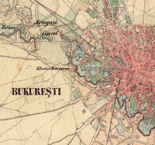
Wallachia - Second military survey of the Habsburg Empire


