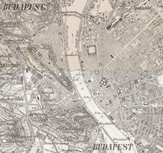
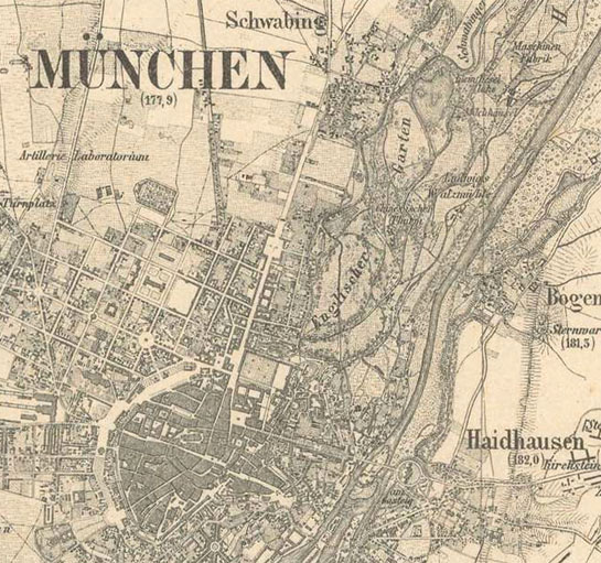
Country maps

1:100,000 scale topographic map (Rektangelkart) of Kingdom of Norway

1:50000 scale topographic map of SE Finland and Karelian isthmus (1921-1940)

Africa in the XIX. century

Atlas des Environs de Paris (1800)

Belgium /Ferraris/ (1777)

Eastern France (1827)

Elsass-Lothringen (1879)

Ferrara

France (1744)

Grossherzogthum Baden (1838-1849)

Habsburg Empire (1763-1787) - First Military Survey

Habsburg Empire (1806-1869) - Second military survey of the Habsburg Empire

Habsburg Empire (1869-1887) - Third Military Survey (1:25000)

Habsburg Empire (1869-1887) - Third Military Survey (1:75000)

Hungary in the 60's - Georeferenced Spy Satellite Photos Mosaic

Kingdom of Greece (1885)

Kurtfürstenthum Hessen (1840-1855)

Königreichs Bayern (1848)

Königreichs Sachsen (1821)

Königreichs Württemberg (1821-1851)

Lesser and Greater Wallachia (Oltenia and Muntenia) (1790)

Lower and Upper Alsace (1731)

Map of the southern provinces of Italy (1862-1876)

Mecklenburg Schwerin (1788)

Military Map of the Italian Riviera of Ponente (1795)

Military Survey of Hungary (1941)

Moldavia (1892-1898)

Naples and Sicily (1821-1826)

Norway (1950)

Ordnance Map of England and Wales (ca. 1890)

Ordnance Survey of Scotland, ca. 1890 [B VI a 32]

Papal States and Tuscany (1841-1843)

Piemont (1821)

Prussia (1877)

Russia (1872)

Schmettau-map of Sicily (1719-1721)

Schmitt’sche Karte - Southwest Germany (1797)

Schweickhardt-Karte von Österreich unter der Enns (ca. 1840)

Senate Atlas at the National Archives of Finland (1855-56)

Senate Atlas at the National Archives of Finland (1870-1907)

Topographic and military map of the Kingdom of the Netherlands (1861)

Topographic map of Belgium (1846-1854)

Topographic map of France (1836)

Topographic map of Switzerland (1855)

Topographic map of the States on the mainland of S.M. the King of Sardinia (1852-1867)
