
Lichtenstein (1816–1821) - Second military survey of the Habsburg Empire
Kúpim si lístok
Stačí niekoľko kliknutí a môžete si kúpiť a stiahnuť si naskenované obrázky v plnom rozlíšení.
Web Map Tile Service
Potrebujete georeferencovanú verziu? Vďaka našej službe WMTS si môžete naše mapy importovať na svoju webovú stránku alebo do akéhokoľvek geoinformatického softvéru.
Dostupný
Základné mapy
Historické mapy
Lichtenstein (1816–1821) - Second military survey of the Habsburg Empire
Info
Layers provided by Arcanum Adatbázis Kft
Data provided by Österreichisches Staatsarchiv
Georeference method: Timár, G., Molnár, G., Székely, B., Biszak, S., Varga, J., Jankó, A. (2006): Digitized maps of the Habsburg Empire – The map sheets of the second military survey and their georeferenced version. Arcanum, Budapest, 59 p. ISBN: 963-7374-33-7
Legends: version #1; version #2
Data provided by Österreichisches Staatsarchiv
Georeference method: Timár, G., Molnár, G., Székely, B., Biszak, S., Varga, J., Jankó, A. (2006): Digitized maps of the Habsburg Empire – The map sheets of the second military survey and their georeferenced version. Arcanum, Budapest, 59 p. ISBN: 963-7374-33-7
Legends: version #1; version #2
Podobné mapy

Česko (1842 – 1853) – Druhé vojenské mapovanie habsburskej ríše

Chorvátsko (1865 – 1869) – Druhé vojenské mapovanie habsburskej ríše

Dalmácia (1851 – 1854) – Druhé vojenské mapovanie habsburskej ríše

Dolné a Horné Rakúsko (1819 – 1869) – Druhé vojenské mapovanie habsburskej ríše
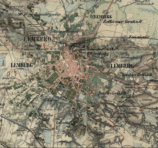
Halič a Bukovina (1861 – 1864) – Druhé vojenské mapovanie habsburskej ríše
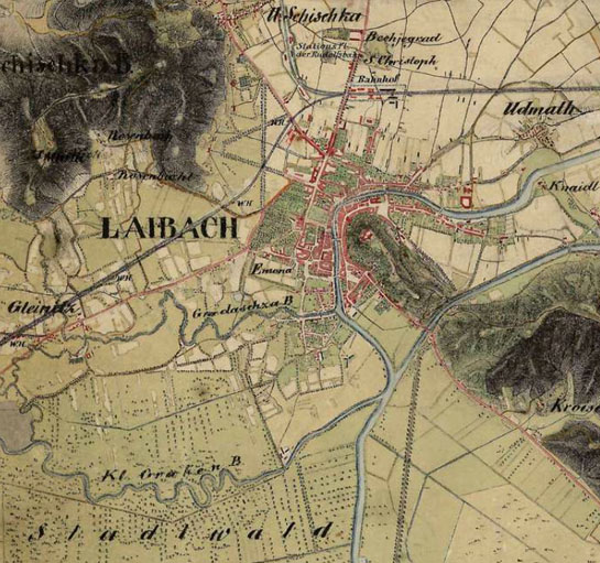
Ilýria (1829 – 1835) – Druhé vojenské mapovanie habsburskej ríše

Lichtenstein (1816–1821) - Second military survey of the Habsburg Empire
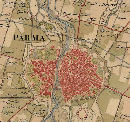
Lombardia, Benátky, Parma, Modena (1818 – 1829) – Druhé vojenské mapovanie habsburskej ríše

Morava (1836 – 1842) - Druhé vojenské mapovanie habsburskej ríše

Prímorie (1821–1824) – Druhé vojenské mapovanie habsburskej ríše

Salzburg (1807 – 1808) – Druhé vojenské mapovanie habsburskej ríše

Sedmohradsko (1853 – 1858; 1869 – 1870) – Druhé vojenské mapovanie habsburskej ríše

Štajersko (1821–1836) – Druhé vojenské mapovanie habsburskej ríše
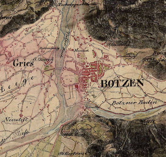
Tirolsko (1816 – 1821) – Druhé vojenské mapovanie habsburskej ríše

Uhorsko (1819 – 1869) – Druhé vojenské mapovanie habsburskej ríše
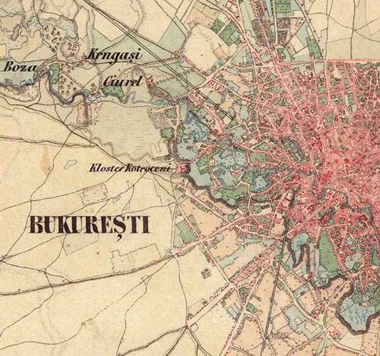
Valašsko - Druhé vojenské mapovanie habsburskej ríše

Vorarlbersko (1816 – 1821) – Druhé vojenské mapovanie habsburskej ríše


